
They say that ignorance is bliss. I'm here to say they're wrong.
On paper, Day 4 didn't seem like it would be too bad. Just three more miles of climbing, and then the downhill begins. Three miles should be easy, right? Especially first thing in the morning, when I'm at my strongest. Right? Right???
Wrong.

I was awakened at 5:30am by a symphony of squawking birds. It was actually kind of comical to hear, because it sounded like an argument, and as I closed my eyes, I pictured Angry Birds up in the trees.
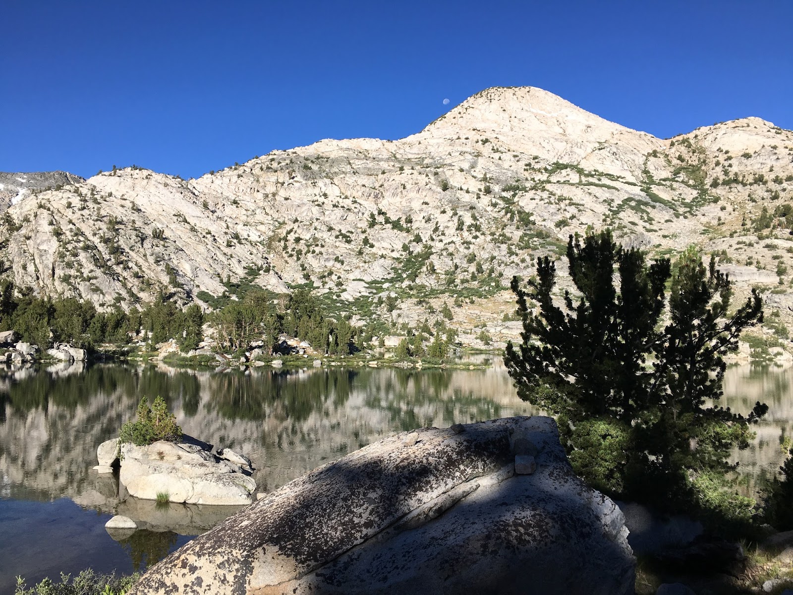
As I took my time getting ready to head out, I felt optimistic. My right ankle was still tender, but no worse than it had been the previous morning, so at least I hadn't done any more damage. So, as I watched the moon set behind the mountains and took a few final looks at gorgeous Middle Rae Lake, I left camp right at 8am.


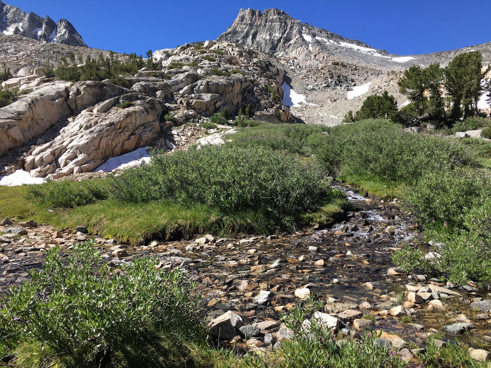
Reaching the snowline, the elevation must have been 11,000 feet or higher, and I was starting to feel the effects of the elevation. A sharp little headache behind my left eye. A little bit of light-headedness. A lot more huffing and puffing as I made my way up the trail.
I slowed things down significantly, stopping for frequent breaks to catch my breath. The thought that kept running through my mind came from the flying lessons I took as a teenager: FAA regulations state that you can't take an airplane over 12,000 feet unless it's pressurized, because the air is so thin at that altitude. And I was nearly there.


I ascended slowly and carefully, taking regular breaks along the way. A few other hikers passed me on the way up, but that was fine. I was perfectly content to be the tortoise, not the hare, with my life on the line. This was not the place to take any risks.
Finally, I saw them. People standing atop Glen Pass! I was still looking up at them, and they still seemed far away... but not too far! The summit was within reach!


Like everybody else up there, I took off my backpack and took in the view. The pass is very narrow, and from it, you can not only look down at where you've been, but also where you're going. And, I have to say, I felt a huge wave of relief seeing that my journey was, literally, all downhill from here. From a starting point just above 5,000 feet, I was now a stone's throw away from 12,000 feet. In three and a half days, I'd climbed nearly 7,000 feet! And that's how far I'd be descending in the next day and a half. It was a comforting thought.
Honestly, had I known exactly how challenging Glen Pass would be, I might have chosen a different first adventure. The mountain threw its best at me. It was tough. It was torturous. It had me questioning my sanity for a while.
But I did it. I had risen to the challenge. And it felt exhilarating.
I spent about 25 minutes up at the pass, drinking in the hard-earned scenery, then confidently embarked on the downhill portion of the journey.

After passing the beautiful blue lake you see above, the descent became more gradual and enjoyable. The vegetation returned, just as it had disappeared on the way up. Streams with grassy meadows, then more trees, and finally back into dense forest.


Of course, it wasn't that easy. A couple friends I'd made back at camp, Turtle and Trailheart, had told me about a campsite that was supposed to be the best of the possible destinations that day, so I kept looking for what they'd described. When I reached a campground at the very far end of Junction Meadow, I knew I had definitely passed it, so I backtracked, trying to find it. I never did. But, in doing that, and then heading back to the Junction Meadow campground, I added an extra 4 miles or so to my journey that day. Just what I needed, right?
But, you know what? I was OK. I'd made it through the worst.


No comments:
Post a Comment